
Sharing the beauty of our nation.
Thursday, June 20, 2013
Picasa Web Album
We have just learned, slowly we admit.....if you click on our profile picture and scroll down, there will be a link to picasa web albums, where we will upload all our pictures.....if you are interested.
Pagosa Springs and Wolf Creek Pass Highway
After finally arriving safely in Pagosa Springs, we set up and set out to see the sights.
Pagosa Springs is home to a famous hot springs resort, with dozens of thermally heated hot pools of mineral intense water. It's a beautiful place, but a little smelly:


We headed back up the Wolf Creek Pass highway, we didn't get to enjoy the scenic views coming in with the coach and felt it was worth another look. At the top of the pass is Wolf Creek Pass ski area at over 10,800 feet elevation. Colorado's scenery does not disappoint. Here are a few pictures:


Pagosa Springs is home to a famous hot springs resort, with dozens of thermally heated hot pools of mineral intense water. It's a beautiful place, but a little smelly:


Pagosa Hot Springs Resort, and mineral mound - reminds me of Yellowstone.
We headed back up the Wolf Creek Pass highway, we didn't get to enjoy the scenic views coming in with the coach and felt it was worth another look. At the top of the pass is Wolf Creek Pass ski area at over 10,800 feet elevation. Colorado's scenery does not disappoint. Here are a few pictures:
Fire on the Mountain

Big Valley views looking towards Pagosa Springs

Treasure Falls

Rich actually walked out on this ...as usual on the wrong side of the fence!
Straddling the Continental Divide

Awwww......is that a bear hug?

Prairie Dogs
Tuesday, June 18, 2013
Creede Colorado
Saturday, we drove 20 miles to Creede Colorado, where part of the new "Lone Ranger" was filmed. We can't wait to see the movie as the scenery, in real life, is spectacular. There is a quaint town center, and then there is the "Bachelor Loop Trail", seventeen miles of rough, narrow gravel roads, passing abandoned gem and mineral mines, and ghost towns. All along the way were towering mountain peaks, also tumbling streams, which make up the headwaters of the Rio Grande River. Oh, and wildlife, several deer, and a MOOSE!!


Creede has an outstanding exhibition mine that shows how the old timers did it. Twelve hour shifts swinging sledge hammers in near total darkness. Ore and rock loaded with shovels by hand. Each miner shared a candle with another to do their work. Horses were lowered into the mines to perform the heavy hauling and returned to the surface daily -ugh. The trail had several abandoned mines:

We've been educated...there are no grizzly bears in Colorado,not since the late 70's, so the honey-cinnamon colored bears we've seen are just bears - boooo! BUT, they are much larger than the black bears we commonly see in N.C., W.V., and other eastern states.
Sunday, we decided to try trout fishing, well, Rich wanted to fish. I was all set to paint and picnic, but the weather didn't cooperate, Rich had little fishing time (and no luck), and I waited in the car. Colorado boasts great trout fishing.
Rich lost a filling in a molar, and we discovered just how remote South Fork is....there is only a "traveling" dentist available, and no one knew when he was due back in town. We finally found one in Pagosa Springs, 50 miles away, and 1000 feet lower in elevation. We packed up, and headed out.
We travel with a gps especially programmed for our coach's, height, weight, and length, so when it sent us out on highway 160, we had no qualms. Jeeze, 7% grade for over 6 miles, across Wolf Creek pass at 10,800 feet, and the continental divide. I was so glad Rich was driving. Up hill was a strain with our CRV in tow, but downhill was a panic. Trucks crept along at 25 mph, and we tried to stay out of their way. There were numerous sand-filled, run-away up-ramps for trucks that burned up their brake capability. We were glad to hit bottom, at 7200 feet, it felt like the longest 50 miles we've ever driven. For the last four days, we have been seeing bicyclists in a coast to coast race. Seeing them pedal up Wolf Creek was hard to watch.
We landed safely, and have checked into a roadside campground. We have one tv channel, and very slow, intermittent wifi.

Downtown Creede

Here, moosie, moosie!
Headwaters of the Rio Grande - crystal clear, by the way.
 Scenic Bachelor Loop Trail

Creede is a ex-mining town that is populated with some real characters, along side artists and outdoor enthusiasts. The Bachelor Loop trail is named for the town of Bachelor that was home to 1200 people at its zenith. The town had saloons, a church, a school, a race track and all of the amenities of the time. This was in the late 1800s. Today, all that remains are steel food cans, tin from roofing, and piles of rocks as foundations. One grave in town has three bodies. A miner's daughter became ill. The miner went to Creede to get the doctor. When he returned home, he saw a strange horse tied outside his cabin. The miner walked in, saw a man standing over his daughter. The miner killed the man only to later find the man was the doctor, the girl died, and the miner killed himself - all are buried in the same grave.Creede has an outstanding exhibition mine that shows how the old timers did it. Twelve hour shifts swinging sledge hammers in near total darkness. Ore and rock loaded with shovels by hand. Each miner shared a candle with another to do their work. Horses were lowered into the mines to perform the heavy hauling and returned to the surface daily -ugh. The trail had several abandoned mines:

Abandoned mine, and a portion of the gravel road we drove.
We've been educated...there are no grizzly bears in Colorado,not since the late 70's, so the honey-cinnamon colored bears we've seen are just bears - boooo! BUT, they are much larger than the black bears we commonly see in N.C., W.V., and other eastern states.
Sunday, we decided to try trout fishing, well, Rich wanted to fish. I was all set to paint and picnic, but the weather didn't cooperate, Rich had little fishing time (and no luck), and I waited in the car. Colorado boasts great trout fishing.
Rich lost a filling in a molar, and we discovered just how remote South Fork is....there is only a "traveling" dentist available, and no one knew when he was due back in town. We finally found one in Pagosa Springs, 50 miles away, and 1000 feet lower in elevation. We packed up, and headed out.
We travel with a gps especially programmed for our coach's, height, weight, and length, so when it sent us out on highway 160, we had no qualms. Jeeze, 7% grade for over 6 miles, across Wolf Creek pass at 10,800 feet, and the continental divide. I was so glad Rich was driving. Up hill was a strain with our CRV in tow, but downhill was a panic. Trucks crept along at 25 mph, and we tried to stay out of their way. There were numerous sand-filled, run-away up-ramps for trucks that burned up their brake capability. We were glad to hit bottom, at 7200 feet, it felt like the longest 50 miles we've ever driven. For the last four days, we have been seeing bicyclists in a coast to coast race. Seeing them pedal up Wolf Creek was hard to watch.
We landed safely, and have checked into a roadside campground. We have one tv channel, and very slow, intermittent wifi.
Saturday, June 15, 2013
Highway of Legends, Trinidad, Colorado
We extended a day at Cedar Rail Campground waiting to see what was going to happen to the fire situation in Colorado Springs. Turns out the fire is the most destructive fire in Colorado history. We decided to stay local and follow the 80 mile Trail of Legends loop that starts in Trinidad, Co. (once called the Devil's Playpen by activist Carrie Nation due to sinful places in the city). Trinidad was visited by the Conquistadors in 1500's. One strip of the highway is lined with abandoned adobe homesteads. left by sheep farmers and ranchers who came about 100 years later.

Everything was going well until coal was discovered and mining companies ran everyone away in the 1800's. A general miner's strike occurred in 1913-14 and State Militia massacred about 25 men, women and children. As a result of that massacre, laws were passed establishing the 40 hour work week and banning child labor.
We visited a virtual ghost town that had 1500 coke ovens operating in the late 1800's.

The trail leads from the arid valley floor up into the Sangre de Cristo mountains.

A geologic formation shoots up from the valley floor. The lava wall is a couple of hundred feet tall and about 6 feet wide, and is called the Dakota Wall. This formation can be found throughout the Rocky Mountains.

We continued up the mountain and reached the 10,000 foot summit. Temperature had dropped from mid 80's to 59 degrees. A rain squall passed through near noon and covered us with slush.

The road passed through Aspen and Spruce forests back down to the valley floor. Along the way, we saw mule deer, a beaver lodge, and beautiful scenery.


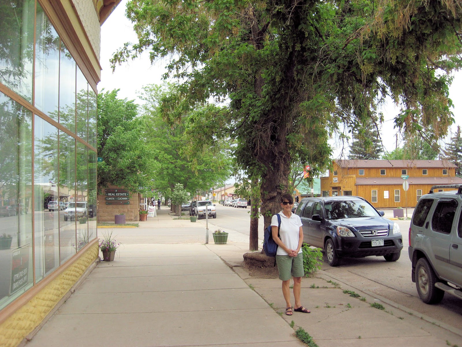
We stopped at a rancher's market in La Veta


and then back to Trinidad, which is full of Victorian architecture.

So much to see and do, we took 132 pictures. Good thing photography is digital now. 80 miles took 8 hours, and we were really tired when we got back to the coach.
The wild fire is turning us due west to a resort town in the mountains - South Fork, Co. Brochures say it is an outdoorsman's paradise. It is close to Pagosa Springs, Creede, and Gunnison, Co. My brother-inlaw, Joe often speaks of visiting the Black Canyon of Gunnison.

Everything was going well until coal was discovered and mining companies ran everyone away in the 1800's. A general miner's strike occurred in 1913-14 and State Militia massacred about 25 men, women and children. As a result of that massacre, laws were passed establishing the 40 hour work week and banning child labor.
We visited a virtual ghost town that had 1500 coke ovens operating in the late 1800's.

The trail leads from the arid valley floor up into the Sangre de Cristo mountains.

A geologic formation shoots up from the valley floor. The lava wall is a couple of hundred feet tall and about 6 feet wide, and is called the Dakota Wall. This formation can be found throughout the Rocky Mountains.

We continued up the mountain and reached the 10,000 foot summit. Temperature had dropped from mid 80's to 59 degrees. A rain squall passed through near noon and covered us with slush.

The road passed through Aspen and Spruce forests back down to the valley floor. Along the way, we saw mule deer, a beaver lodge, and beautiful scenery.


We stopped at a rancher's market in La Veta

and then back to Trinidad, which is full of Victorian architecture.

So much to see and do, we took 132 pictures. Good thing photography is digital now. 80 miles took 8 hours, and we were really tired when we got back to the coach.
The wild fire is turning us due west to a resort town in the mountains - South Fork, Co. Brochures say it is an outdoorsman's paradise. It is close to Pagosa Springs, Creede, and Gunnison, Co. My brother-inlaw, Joe often speaks of visiting the Black Canyon of Gunnison.
Thursday, June 13, 2013
Whoa, we were on our way to Colorado Springs and three wild fires came into the picture. One fire (Black Forest Fire) is just east and north of Colorado Springs moving west, it is very large, out of control, and dangerous. One fire is west and another east of Colorado Springs. I25 will likely be in danger of being closed. We have decided to head directly West on a scenic highway to Pagosa Springs, N.M. But first, we booked an extra night here at Raton Pass, NM.
We moved 230 miles yesterday through remote high chaparral to Raton Pass (elevation 8900 feet). Campground is named Cedar Rail Campground. Our view is of the snow capped Sangre de Cristo mountains, but no pictures because of a hazy horizon. Hope we can get a shot before we leave. The manager told us "do not feed the mountain lions and bears" - right. She advised us about a drive to take to see wildlife at sunset, and off we went. We drove though the country a bit towards one of Ted Turner's ranches. We saw a grizzly bear, several elk, mule deer, antelope, and turkey - not too bad for one evening.


 We passed though Capulin volcano lava flow and past the 85,000 acre TO Ranch. Along the road we passed a town named Sophie, located 23 miles away down a dirt road.
Weather here is nice with 90 degree days (13% humidity) and 60 degrees at night. We plan to follow the Highway of Legends and Santa Fe Trails today and off to Pagosa Springs tomorrow. Gasoline prices are a killer @ $3.79.
We moved 230 miles yesterday through remote high chaparral to Raton Pass (elevation 8900 feet). Campground is named Cedar Rail Campground. Our view is of the snow capped Sangre de Cristo mountains, but no pictures because of a hazy horizon. Hope we can get a shot before we leave. The manager told us "do not feed the mountain lions and bears" - right. She advised us about a drive to take to see wildlife at sunset, and off we went. We drove though the country a bit towards one of Ted Turner's ranches. We saw a grizzly bear, several elk, mule deer, antelope, and turkey - not too bad for one evening.

This giant (Rich's word) grizzly bear ran across the road in front of our car. As usual, with animal shots, we get so excited, our pictures don't turn out well. The bear is in the center of the shot above, and if you click on it, you can see it better. He made a hasty retreat into the forest.

Buck mule deer

Retreating bull elk
Two elk
Weather here is nice with 90 degree days (13% humidity) and 60 degrees at night. We plan to follow the Highway of Legends and Santa Fe Trails today and off to Pagosa Springs tomorrow. Gasoline prices are a killer @ $3.79.
Tuesday, June 11, 2013
Northern Texas is similar to Piedmont South Carolina with fewer pine trees, and rolling hills. Two lane highway speed limit is 75mph. We stayed in Mount Pleasant, Texas. It is a small, very western town. Drove 231 miles to Wichita Falls, Texas and stayed at the wonderful Coyote Ranch RV Resort. Two swimming pools, cable, wifi, our kind of place for sure.
Drove uphill all day to Amarillo. We passed through wheat fields, cornfields and cow pastures for 231 miles.


This part of Texas was settled in the 1890's when people could claim 160 acres of government/Indian land. I don't know how these 160 acre farms were joined to make the mega-ranches here now.
If you visit Amarillo, you must visit one of the country's best steakhouses - The Big Texan Steak Ranch. If you can eat 72 oz steak with all of the trimmings, it's free. Regular cost $72. Over the years, 40,000 people have tried the deal with about 6,000 successful. They have a live internet feed showing who is trying and their progress. C.W. and I split an 18 oz steak and brought half home.


I guess we successfully crossed Tornado Alley without incident and have our sights on Colorado Springs, CO. We are really looking forward to touring the "Garden of the Gods" area.
Saturday, June 8, 2013
We moved over to the Natchez Trace near Tupelo, Mississippi (birthplace of Elvis Presley). I tried out my best impersonation but locals were not impressed. Tupelo is a very quaint little town with colored guitars spaced down main street. They were to have a giant Elvis celebration the week-end after we passed through.
 The Natchez Trace was a pre-historic 450 mile path between Natchez and Nashville. It was the major transportation route until the advent of the steam engine and paddlewheel boats. Today, the Trace looks much like the Skyline Drive without the skyline. Some of the original trail is still visible.
Moved over to Conway, AK to visit my sister Rhea and her husband David. They raise various farm animals. C.W. and I helped them start a garden; Rhea promises pictures throughout the summer.

We have headed west and south along Interstate 30 to avoid Tornado Alley. We landed in Mount Pleasant, Texas. Hope we made the right call. We are heading to Wichita Falls, Texas and on to Amarillo. After Amarillo, we plan to turn North to Denver. We should be through Texas by Wednesday.

One of several decorative guitars in Tupelo, Ms., birthplace of Elvis
Moved over to Conway, AK to visit my sister Rhea and her husband David. They raise various farm animals. C.W. and I helped them start a garden; Rhea promises pictures throughout the summer.

We have headed west and south along Interstate 30 to avoid Tornado Alley. We landed in Mount Pleasant, Texas. Hope we made the right call. We are heading to Wichita Falls, Texas and on to Amarillo. After Amarillo, we plan to turn North to Denver. We should be through Texas by Wednesday.
Subscribe to:
Posts (Atom)